Easily download the most up-to-date U.S. mapping directly to Garmin device via Wi-Fi with Outdoor Maps+

Garmin announced its newest mapping collection, Outdoor Maps+. This subscription-based platform provides users access to premium mapping content of the United States through a single, annual purchase. Complimenting preloaded mapping features on Garmin devices, Outdoor Maps+ includes premium elevation contours, landowner names, and boundaries for public/private land types, as well as other enhanced mapping content. Featuring Garmin’s most up-to-date maps and available to download directly to a Garmin device via Wi-Fi, learning about and navigating through your environment has never been easier.
“Garmin is known for its industry-leading mapping, and we are proud to now provide customers with our most robust cartography content in an easy-to-access package through Outdoor Maps+. This collection is a significant value for customers because it bundles many of our more sought-after data sets into a single purchase that is always up to date, eliminating the need for multiple purchases or concerns of out-of-date cartography,” said Dan Bartel, Garmin vice president of global consumer sales. “When it comes to outdoor adventures like hiking, biking, hunting and exploring, having the most accurate, up-to-date information is critical, and the new Outdoor Maps+ provides customers with the content they need to explore further and have a better understanding of their surroundings.”
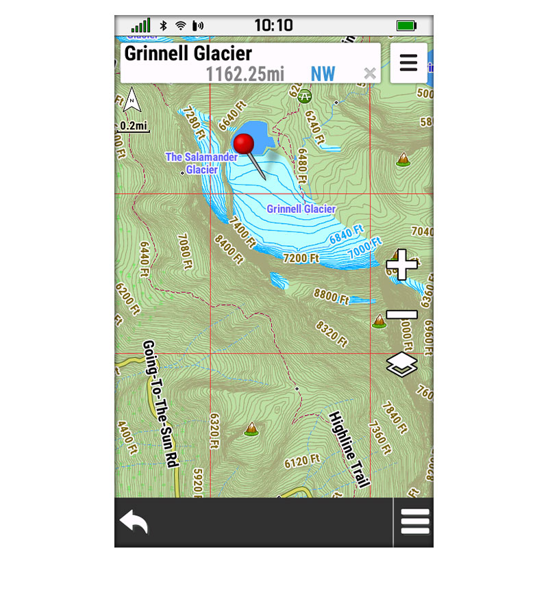
Get best-in-class elevation mapping with premium contours for maximum detail.
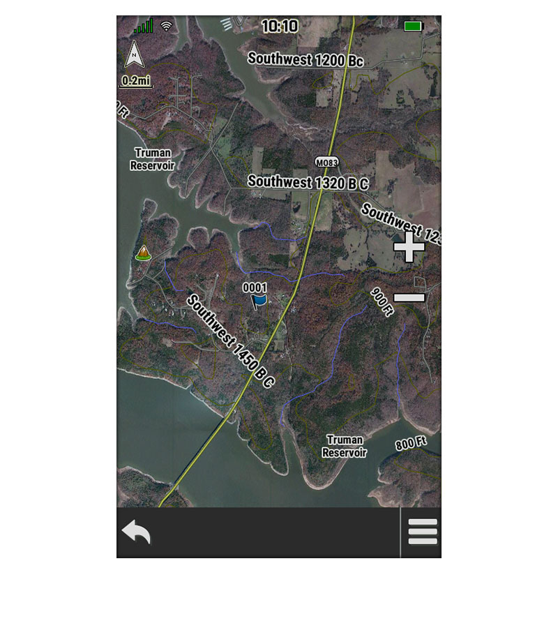
Download photorealistic maps directly to your device, and see a high-resolution perspective from above. Easily find game trails, locate field edges, discover watering holes and more.
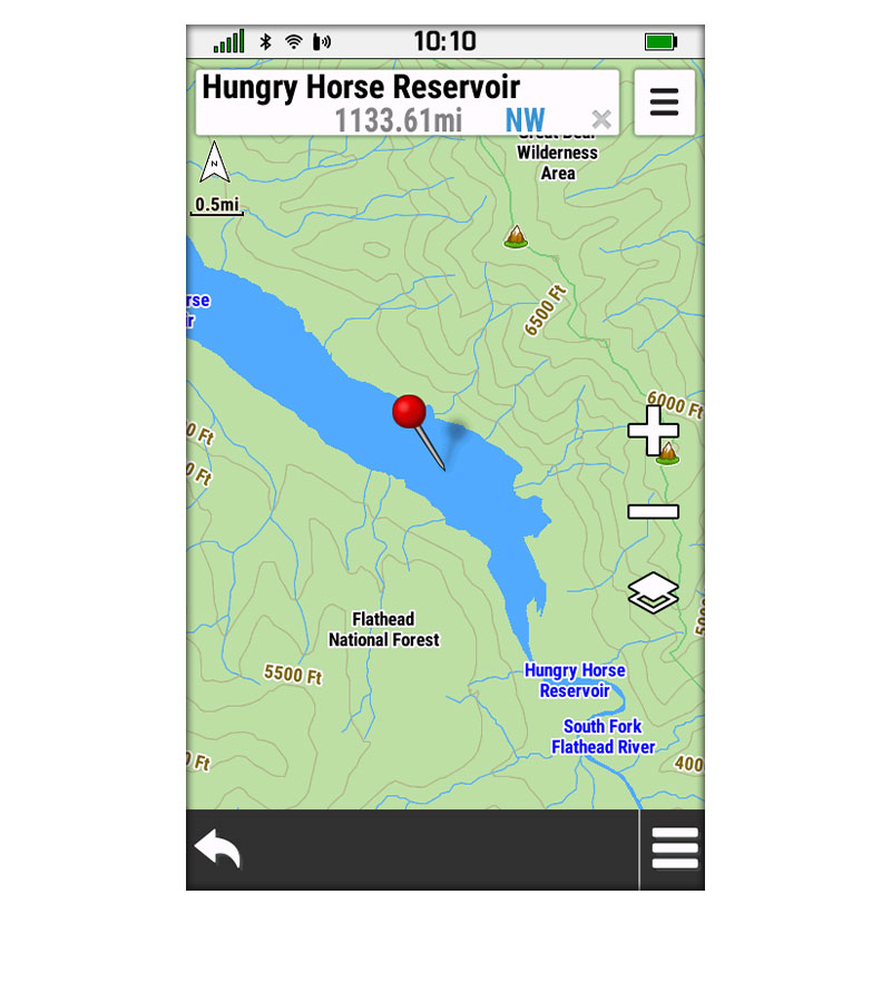
See detailed mapping of inland lake, river and stream features.
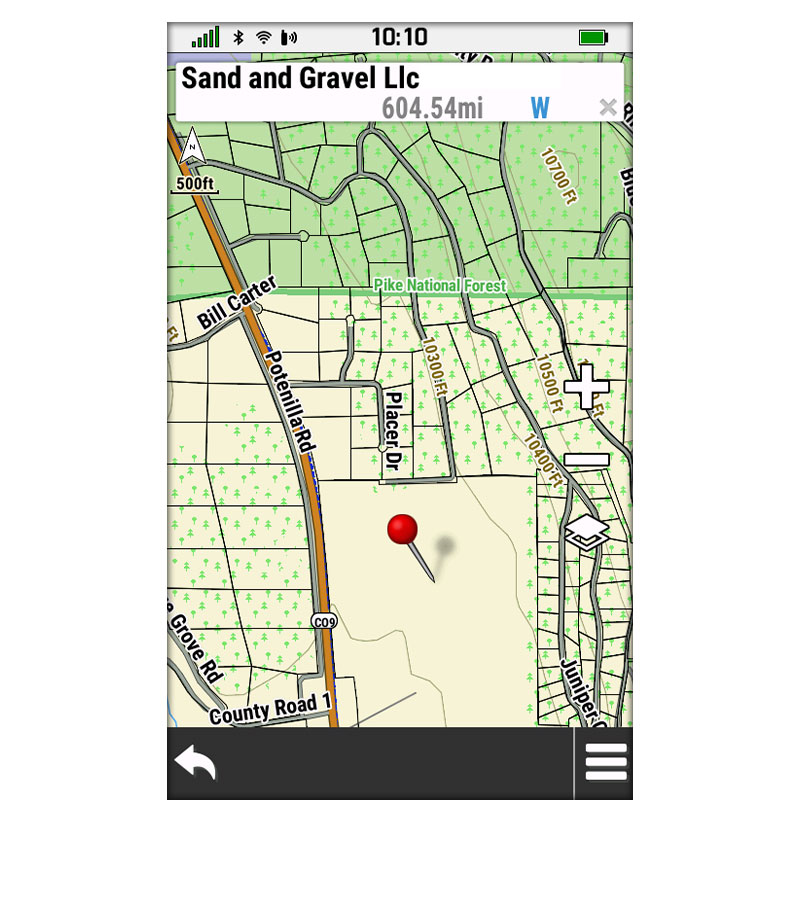
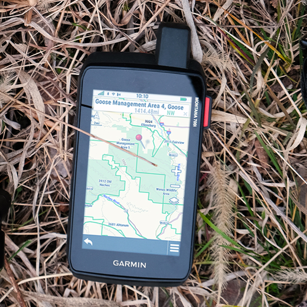
See how tracts of land are divided into lots nationwide — with parcel boundaries and landowner names.
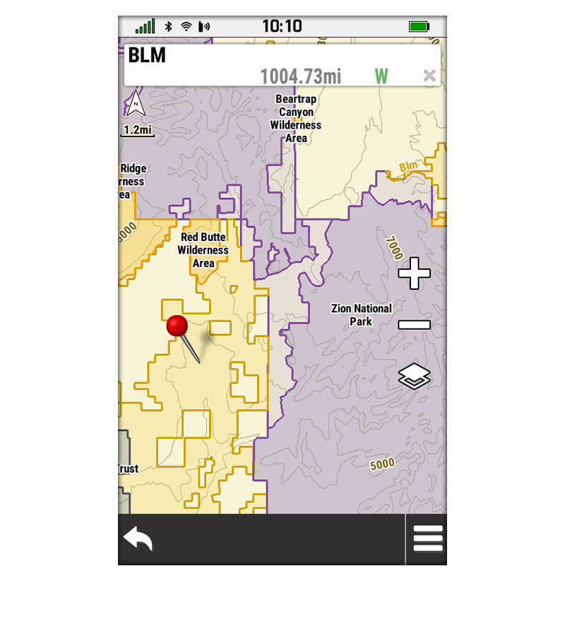
Get up-to-date details on Bureau of Land Management townships.
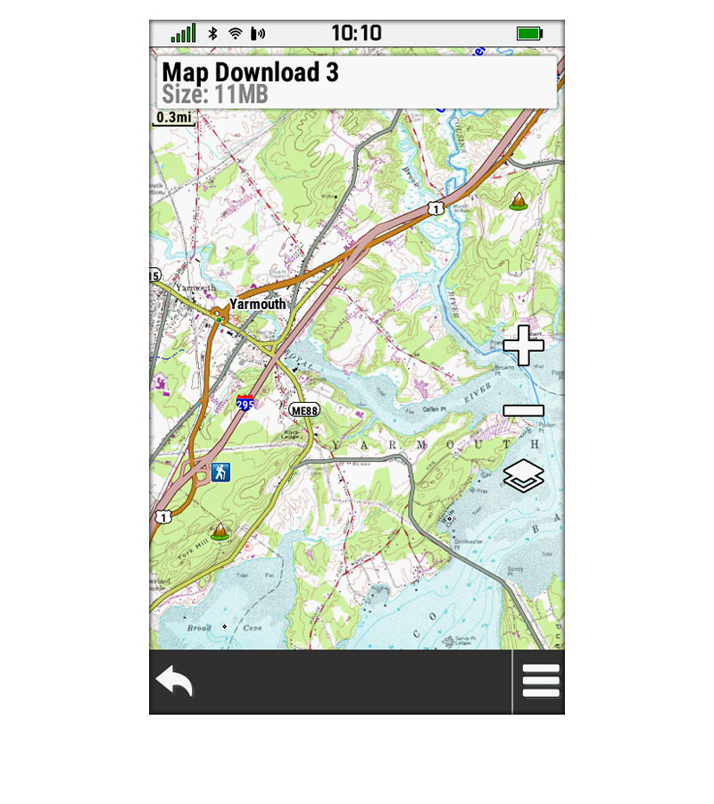
Get highly detailed 1:24,000 scale raster USGS maps. These maps display trailheads, camping areas, trails, points of interest, water sources and more.
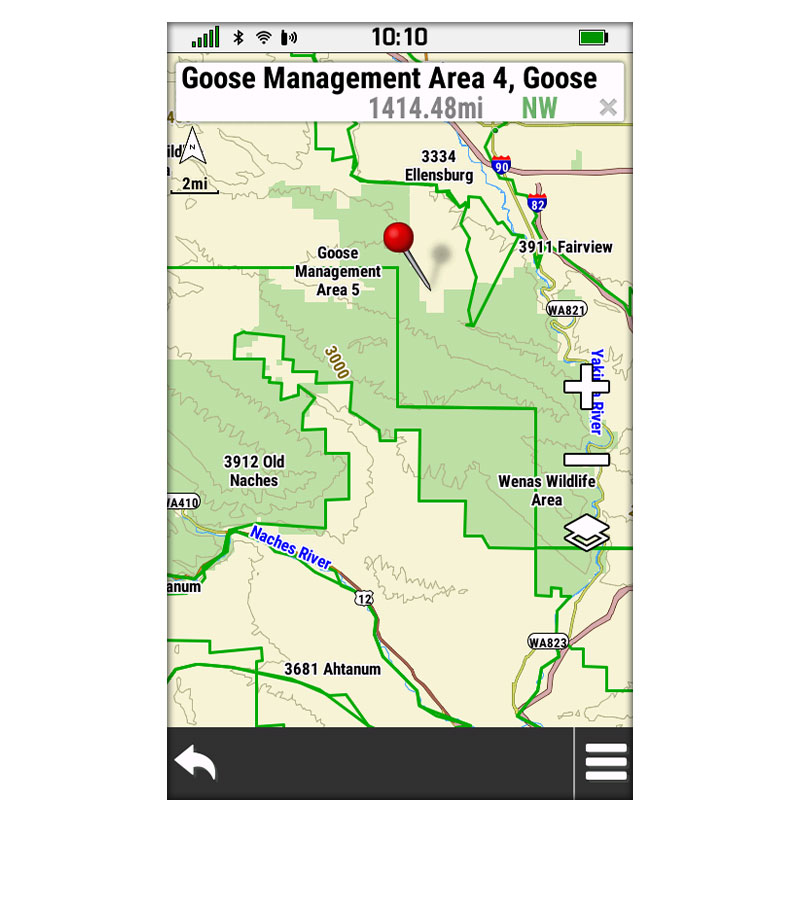
See hunting management unit boundaries for multiple species (where applicable).
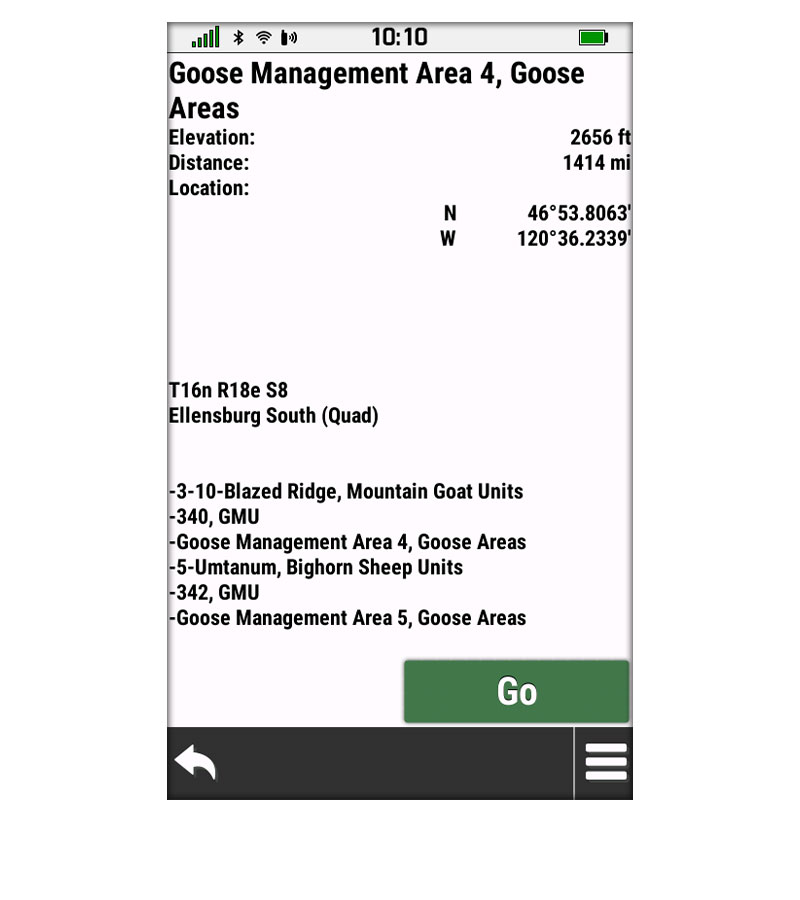
Provides USGS quad names as well as range and section information.
A one-year Outdoor Maps+ subscription includes:
- Regularly updated mapping data for all 50 U.S. states
- Downloadable, photorealistic imagery for a high-resolution aerial perspective
- Elevation contours with premium high-density TOPO Maps and detailed mapping of inland lake shorelines, river and streams
- State plat maps with parcel boundaries and landowner names to see where tracts of land are divided
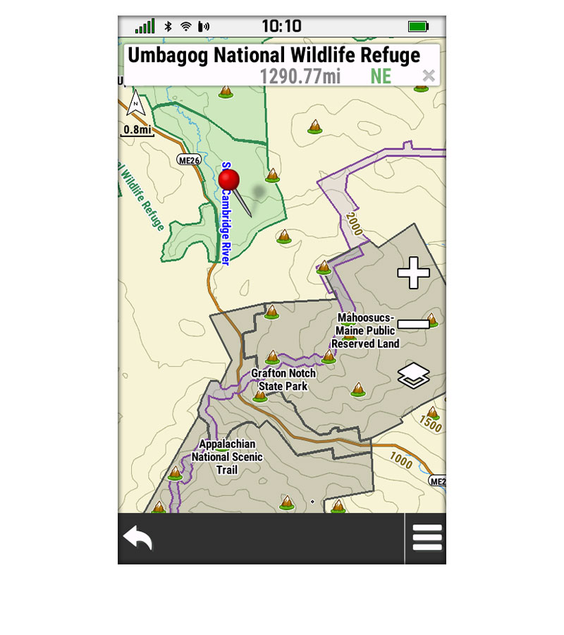
- Public land maps including federal and state ownership including national wildlife refuges, state and national parks, Waterfowl Product Areas, and Wildlife Management Areas, so users better understand where they are venturing into or if they are still on public lands
- Hunting management unit boundaries with multiple species where applicable
- Access to the latest U.S. Geological Survey (USGS) 24K quad names as well as Bureau of Land Management township and range lines
The Outdoor Maps+ subscriptions are currently available for download on Montana® 700, 700i and 750i devices for an annual price of $49.99. For a full overview of Outdoor Maps+ features, please click here.
Engineered on the inside for life on the outside, Garmin products have revolutionized life for adventurers, athletes, and outdoor enthusiasts everywhere. Committed to developing products that enhance experiences and enrich lives, Garmin believes every day is an opportunity to innovate and a chance to beat yesterday.
For more information, visit Garmin’s virtual Newsroom, email our press team, connect with @garminoutdoor on social media, or follow our adventures at garmin.com/blog.
